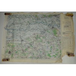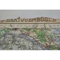

The Thunderbolt across Europe - Quick view
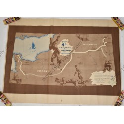
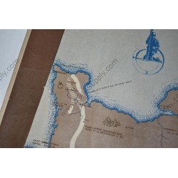
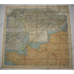
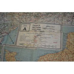
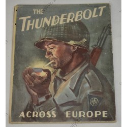
The Thunderbolt across Europe. 83rd Division multi color fold out unit history / campaign map. It measures about 87 x 73 centimeters. It was most likely printed in Germany. As usual there are some splits in the folds due to the low grade quality of the paper. It will look awesome framed. Good...
SOLD
- Out-of-Stock