Operation Market Garden Map - Quick view
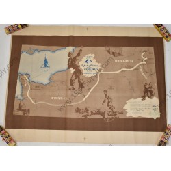
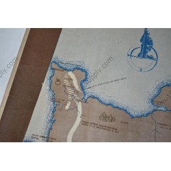
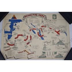
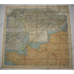
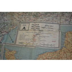
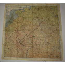
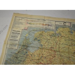
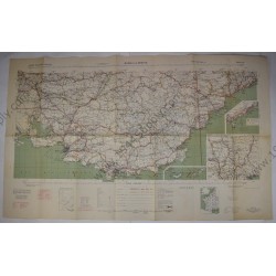
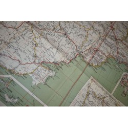
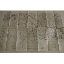
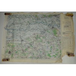
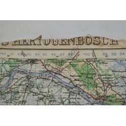
Operation Market Garden Map, 'S Hertogenbosch. 3rd Edition of 1943 but printed in September 1944. Scale 1:100.000. It measures about 65 x 90 centimeters and has all the famous places, Arnhem; Nijmegen, Grave, Veghel etc. The map has damage around the edges and the lower right bottom is missing...
SOLD
- New
- Out-of-Stock