- New


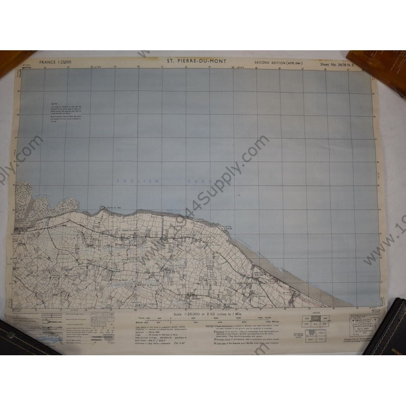
Map of St Pierre du Mont, including Omaha Beach and Pointe du Hoc. It is marked Second Edition of April 1944. Scale 1:25.000. This map shows the west side of Omaha Beach (sectors Charlie, Dog and Easy-Green with exits D-1 and D-3) where the Rangers and 29th Division landed to Pointe du Hoc (named Pointe du Hoe on the map) all the way to Grandcamp (battle route of the Rangers). It also shows the area of Gruchy where the 29th Division assembled after the landing. This 'large scale' map (small area with much detail) is typical for combat use. It measures about 62.5 x 48 centimeters. The scale and grid coordinates make it excellent for research. The map is a bit wrinkled from being rolled up but it will flatten out. What makes this map extra nice is the fact it was never folded. It will look awesome framed! Very good condition.

Fast shipping on all orders